Catalog Archive
Auction 168, Lot 234

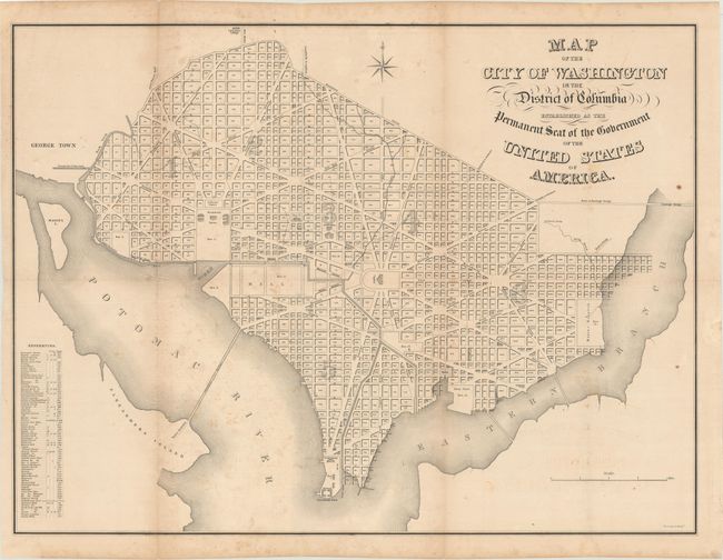
"Map of the City of Washington in the District of Columbia Established as the Permanent Seat of the Government of the United States of America", Stone, W. J.

Subject: Washington, D.C.

Period: 1852 (circa)

Publication: Maps of the District of Columbia and City of Washington...

Color: Black & White

Size:
30.7 x 23 inches
78 x 58.4 cm
Download High Resolution Image
(or just click on image to launch the Zoom viewer)

This was one of three maps published in A.B. Hamilton's Maps of the District of Columbia and City of Washington... and served as the frontispiece to the volume. It is based upon an earlier map by William James Stone issued between 1835-40. The plan itself shows the layout of streets including the long diagonals. Washington is bordered by the Potomac River and the Eastern Branch, now the Anacostia River. Georgetown, at the left and northwest of Rock Creek, is separately labeled. Each block is numbered, and a few major buildings including the Capitol and the Presidents House are labeled. The proposed landscape design for the Mall is shown with some basic detail. Includes a reference table and eight-pointed compass indicator surmounted by a fleur-de-lys.

References: Phillips (Atlases) #3711.

Condition: B+

Issued folding with light scattered foxing and minor offsetting. There are two tiny splits at fold intersections and a 4.25" edge tear at left that has been closed on verso with archival tape.

Estimate: $220 - $250

Sold for: $160

Closed on 6/6/2018

Archived