Catalog Archive
Auction 168, Lot 229

"Map of the Gold and Silver Region of Pike's Peak, Sierras San Juan and La Plata", Gilpin, William
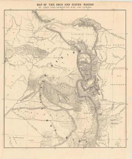
Subject: Colorado

Period: 1860 (circa)

Publication: Central Gold Region

Color: Black & White

Size:
10.1 x 11.3 inches
25.7 x 28.7 cm
Download High Resolution Image
(or just click on image to launch the Zoom viewer)

This map of Colorado presents a large "gold and silver region" and was issued just prior to the Colorado Gold Rush. It covers the region from Ft. Laramie south to Santa Fe and west to the Great Salt Lake. The map shows good detail of the rugged topography in the region and depicts several explorers' routes including Fremont, Gunnison, and Stansbury. This is the same map as in the Wheat reference, but lacks the publisher's imprint below the image.

References: cf. Wheat (TMW) #1011.

Condition: B+

Issued folding with faint offsetting.

Estimate: $180 - $220

Sold for: $325

Closed on 6/6/2018

Archived