Catalog Archive
Auction 168, Lot 13

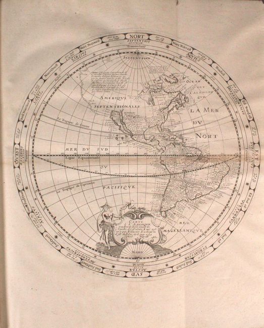
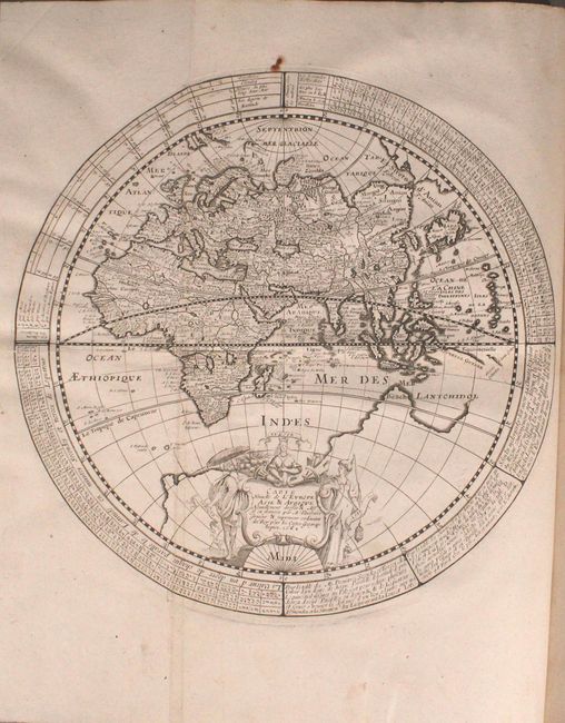
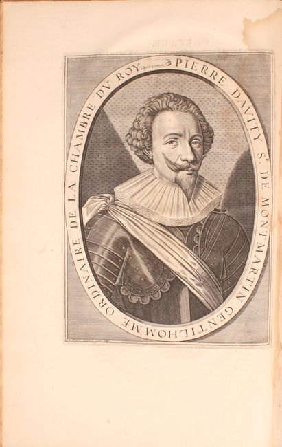
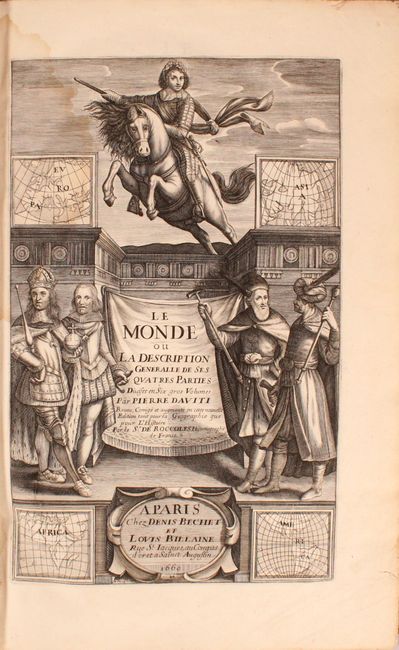
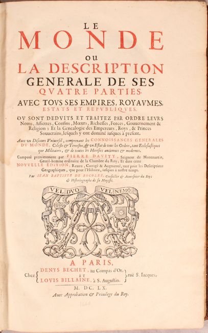
Elegant World Map in Two Separate Hemispheres Bound in Pierre D'Avity's Book on History

"Carte de l'Amerique Nouvellement Dressee Suivant les Nouvelles Descouvertes & Mise en Fransois [and] Carte Nouvelle de l'Europe Asie & Afrique Nouvellement Dressee & Misse en Francois [bound in] Le Monde...", Tavernier, Melchior

Subject: World

Period: 1660 (published)

Publication:

Color: Black & White

Size:
11.7 x 11.6 inches
29.7 x 29.5 cm
Download High Resolution Image
(or just click on image to launch the Zoom viewer)

This fine pair of hemisphere maps are bound in Pierre D'Avity's well-known work on history and geography, Le Monde ou la Description Generale de ses Quatre Parties avec tous ses Empires, Royaumes, Estats et Republiques, published in Paris by Denis Bechet and Louis Billaine. D'Avity (or Davity), sieur de Montmartin, was a French writer, historian and geographer. After serving in the French military, Davity decided to write an encyclopedia on the history and geography of France, which he later expanded to include all regions of the world. After his death in 1635, Davity's popular work was republished many times and expanded to six volumes.

The Western Hemisphere shows California as an island, a single Great Lake, and an expansive northwest coastline in North America. A notation describes Thomas Button's search for a Northwest Passage. In South America, there is a small Lake Parime in Guiana, and both the Amazon and Rio de la Plata flow from the large interior Lago de los Xarayes. In the Eastern Hemisphere, the large mythical southern continent fills the bottom of the map and the Dutch discoveries in Australia are not shown. Both hemispheres are enclosed in concentric circles giving compass points, notations and tables, and each is embellished with a beautiful cartouche featuring the female representations of the continents. These two hemisphere maps by Melchior Tavernier first appeared in 1639, printed on a single sheet as a double hemisphere map. This is the second state, with the date of 1661 added to the title cartouche and each hemisphere printed on a separate sheet.

Also included in the volume are a portrait and a frontispiece. The portrait depicts D'Avity at the age of 45 in 1617, engraved by J. Picart. The lovely frontispiece includes several merchants from various places around the world, miniature maps of the four continents, and a French cavalryman wearing a laurel crown. Folio, 584 pp., plus preface, table of contents, and index. Hardbound in full leather with six raised bands, gilt tooling and title on spine.

References: Shirley #349; Burden #255.

Condition: B+

The western hemisphere has toning along the equator, a few small holes along the fold and the equator that have been professionally repaired, and a tiny rust spot on the arm of the figure in the title cartouche. The eastern hemisphere is clean and bright with a rust spot just above it. The maps appear to have previously been folded along the equator. Text has occasional light toning and soiling. A damp stain along the spine affects the first 40 pages and the last 100 pages. One page of the index has a 5" tear. The covers have bumped corners with some professional repairs along the corners and show some wear and small abrasions. The spine is cracking with several large chips. Printed bookplate of previous owner (Raymond Decary) on front pastedown.

Estimate: $2,750 - $3,750

Sold for: $1,600

Closed on 6/6/2018

Archived