Catalog Archive
Auction 168, Lot 139

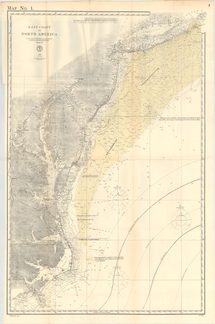
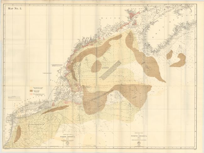
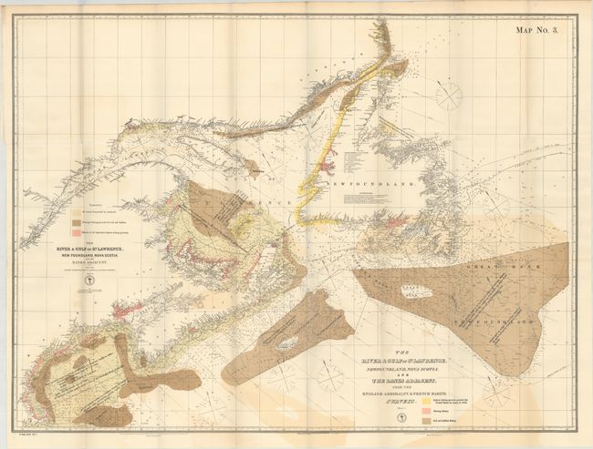
"[Lot of 3] East Coast of North America [and] North East Coast of North America Sheet II [and] Sheet III [and] The River & Gulf of St. Lawrence, Newfoundland, Nova Scotia, and the Banks Adjacent, from the English Admiralty & French Marine Surveys", U.S. Hydrographic Office

Subject: Eastern United States & Canada

Period: 1878 (dated)

Publication: Sen. Report 1683, 49th Congress, 2nd Session

Color: Printed Color

Size:
See Description
Download High Resolution Image
(or just click on image to launch the Zoom viewer)

These three maps were issued in a Senate report concerning commercial fishing off the eastern coast of the United States and Canada from Cape Hatteras to the Great Bank south of Newfoundland. The maps are color-coded to show the fishing grounds of mackerel (green), cod and halibut (brown), and inshore fishing grounds for mackerel, menhaden, and herring (pink). The charts include thousands of depth soundings, magnetic variation, and notes relating to the yields of the American fishing fleet. The charts have a political slant to them as they emphasize that the American catch was taken primarily from waters off the United States coast. The list of maps include:

A. East Coast of North America (20.6 x 31.2").

B. North East Coast of North America Sheet II [and] Sheet III (37.0 x 27.8").

C. The River & Gulf of St. Lawrence, Newfoundland, Nova Scotia, and the Banks Adjacent, from the English Admiralty & French Marine Surveys (33.9 x 25.4").

References:

Condition: B+

Clean, bright examples with minor toning, faint color offsetting, and a few tiny splits at fold intersections. Issued folding.

Estimate: $250 - $325

Sold for: $100

Closed on 6/6/2018

Archived