Catalog Archive
Auction 167, Lot 457

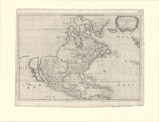
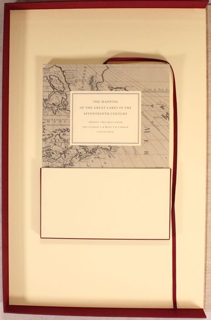
"The Mapping of the Great Lakes in the Seventeenth Century - Twenty-Two Maps from the George S. & Nancy B. Parker Collection",

Subject: References

Period: 1989 (published)

Publication:

Color: Black & White

Size:
14.6 x 22.3 inches
37.1 x 56.6 cm
Download High Resolution Image
(or just click on image to launch the Zoom viewer)

This hardbound portfolio contains 22 large single-fold maps with the 85 page soft cover book with title as given above. It includes a foreword by George S. Parker, prefaces by David Woodward and Norman Fiering, and an introduction and commentary by Kevin Kaufman of the University of Wisconsin. Published by the John Carter Brown Library, Providence, Rhode Island. The portfolio has pockets for the booklet and the 22 unbound, folding black & white maps. Each map measures approximately 28 x 21" and contains on the verso detailed information including its history and condition. Sturdy folio clamshell case of ivory and burgundy, cloth over heavy boards. An important work devoted to the study of the mapping of this area.

References:

Condition: A

Maps and clamshell case are in very good condition. Contents of the book are tight, although its covers have light shelf wear.

Estimate: $350 - $425

Sold for: $250

Closed on 3/28/2018

Archived