Catalog Archive
Auction 167, Lot 328

"Italia Antiqua Philippo Cluvero Borusso Designatore", Hondius, Jodocus
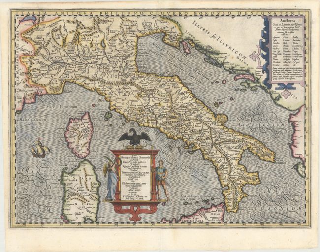
Subject: Italy

Period: 1603 (dated)

Publication: Theatrum Geographiae Veteris

Color: Hand Color

Size:
19.5 x 14.3 inches
49.5 x 36.3 cm
Download High Resolution Image
(or just click on image to launch the Zoom viewer)

This handsome map of ancient Italy credits the cartographic information to Theodorus Cluver by Philip Cluver in an elaborate cartouche flanked by two figures representing peace and war. The map includes all of Italy, with Sardinia and Corsica but only the northern part of Sicily, and is filled with ancient place names. A strapwork cartouche at top right lists known authors who have written about Italy. The map is decorated with a large galleon at left. Latin text on verso, published in 1618, which was the first edition in which this map appeared.

References: Van der Krogt (Vol. I) #7000H:1A.1.

Condition: A

A dark impression with a professionally repaired centerfold separation in the image and minor toning along the edges of the sheet.

Estimate: $800 - $950

Unsold

Closed on 3/28/2018

Archived