Catalog Archive
Auction 167, Lot 289

"Parys", Halma, Francois

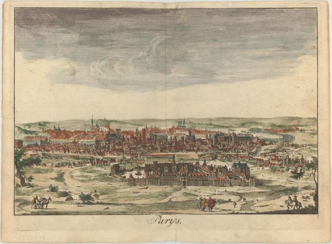
Subject: Paris, France

Period: 1705 (published)

Publication: Algemeene Weereld-Beschryving…

Color: Hand Color

Size:
10.6 x 7.3 inches
26.9 x 18.5 cm
Download High Resolution Image
(or just click on image to launch the Zoom viewer)

A lovely panoramic view of Paris and the Seine River. Several figures and horses appear in the foreground.

This view appeared in Algemeene Weereld-Beschryving, nae de Rechte Verdeeling der Landschappen, Plaetsen, Zeeën, Rivieren, &c. Geographisch, Politisch, Historisch, Chronologisch en Genealogisch, a Dutch edition of A. Phérotée de la Croix's Nouvelle Methode Pour Apprendre Facilement la Geographie Universelle, which first appeared in 1690. The Dutch edition was published by Francois Halma and included 98 maps and views. Halma acquired many of the plates for Algemeene Weereld-Beschryving from Joannes Ribbius, who had enlisted the services of engraver Antoine de Winter to make copies of the maps in Nicolas Sanson's quarto atlases of the four continents. De Winter made very few geographical changes and maintained the attribution to Sanson on the newly engraved plates. Halma supplemented the Sanson maps with about a dozen new maps engraved in the same style as Sanson's, without any attribution on the maps, as well as 23 panoramic views of famous cities around the world.

References:

Condition: A

Crisp impression on paper with an "I" watermark, a minor crease at bottom right, and light toning along the edges of the sheet.

Estimate: $275 - $350

Sold for: $200

Closed on 3/28/2018

Archived