Catalog Archive
Auction 167, Lot 194
"'T Gebiedt van Guadalajara, Niew Mexico, en Californie Enz.", Sanson, Nicolas
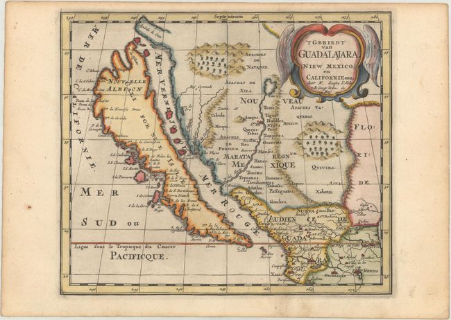
Subject: Southwestern United States & Mexico, California
Period: 1705 (published)
Publication: Algemeene Weereld-Beschryving...
Color: Hand Color
Size:
9.3 x 8 inches
23.6 x 20.3 cm
Download High Resolution Image
(or just click on image to launch the Zoom viewer)
(or just click on image to launch the Zoom viewer)