Catalog Archive
Auction 167, Lot 192

"Territory of Wyoming", Mitchell, Samuel Augustus
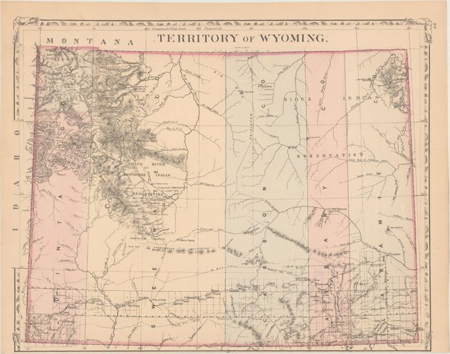
Subject: Wyoming

Period: 1876 (circa)

Publication:

Color: Hand Color

Size:
14.3 x 11.3 inches
36.3 x 28.7 cm
Download High Resolution Image
(or just click on image to launch the Zoom viewer)

This is one of the earliest separate maps of Wyoming Territory published in a commercial atlas. It shows only five counties - Laramie, Albany, Carbon, Sweetwater, and Uinta. Yellowstone National Park is depicted in the top left corner of the territory, and the Sioux and Shoshonee Indian Reservations are prominently depicted. Development is confined to the southern part of the territory along the line of the Union Pacific Railroad. Topography and drainage is well developed.

References:

Condition: B+

Light toning along the sheet edges with a 0.5" archivally repaired edge tear at lower left. Narrow bottom margin.

Estimate: $160 - $200

Sold for: $80

Closed on 3/28/2018

Archived