Catalog Archive
Auction 167, Lot 190

"Utah", Rand McNally & Co.
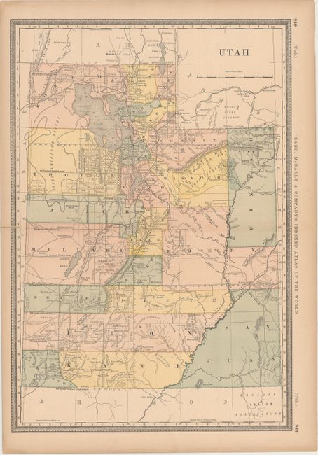
Subject: Utah

Period: 1881 (circa)

Publication: Rand, McNally & Company's Indexed Atlas of the World

Color: Printed Color

Size:
13.3 x 19.3 inches
33.8 x 49 cm
Download High Resolution Image
(or just click on image to launch the Zoom viewer)

This detailed county map of Utah shows roads, railroad, and surveying progress in the state. The map is current for 1881, with the newly formed counties of Emery, San Juan, and Uintah.

References:

Condition: B+

Light toning with a centerfold separation that just enters the map border at left and has been closed on verso with tape.

Estimate: $100 - $130

Sold for: $75

Closed on 3/28/2018

Archived