Catalog Archive
Auction 167, Lot 178

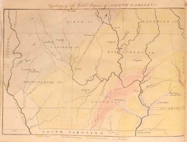
First Geological Map of North Carolina

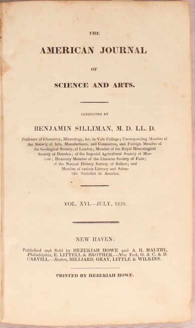
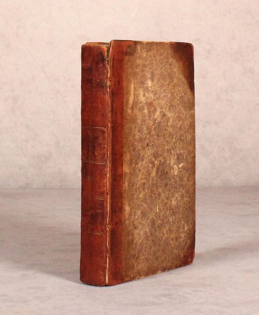
"Geology of the Gold Region of North Carolina [bound in] The American Journal of Science and Arts Vol. XVI. - July, 1829", Doolittle, Amos

Subject: Western North Carolina

Period: 1829 (published)

Publication:

Color: Hand Color

Size:
5.4 x 8.8 inches
13.7 x 22.4 cm
Download High Resolution Image
(or just click on image to launch the Zoom viewer)

This is one of the more difficult to find American Journal of Science volumes because it contains Elisha Mitchell's map Geology of the Gold Region of North Carolina and his accompanying article. This important map appears to be the first published geological map of any part of North Carolina as it predates the earliest example listed in Marcou & Marcou's Mapoteca Geologica Americana, A Catalogue of Geological Maps of America, USGS Bulletin 7, 1884. The map covers the region of America's first gold rush that occurred during the 1820's and 1830's. Often overshadowed by the larger findings in California, gold was first discovered in the U.S. in Cabarrus County, North Carolina in 1799. The map is still bound into the 404 page journal with folding map and 2 folding plates. 12mo., hardbound in quarter calf with tips over marbled boards.

In 1853, Dr. Mitchell successfully measured the height of Mt. Mitchell, which was named for him and is the highest point in the U.S. east of the Mississippi River. Tragically, he fell to his death while attempting to re-measure the readings in 1857.

References:

Condition: B+

The map is very good with light toning and a few spots of foxing. Text also has light toning and occasional pencil notations throughout. The folding plate "View of the Celebrated Rock Spring at Saratoga" is heavily foxed. The front cover has nearly separated and the extremities have moderate wear along with bumped edges.

Estimate: $300 - $375

Sold for: $150

Closed on 3/28/2018

Archived