Catalog Archive
Auction 167, Lot 166

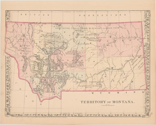
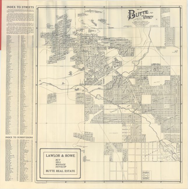
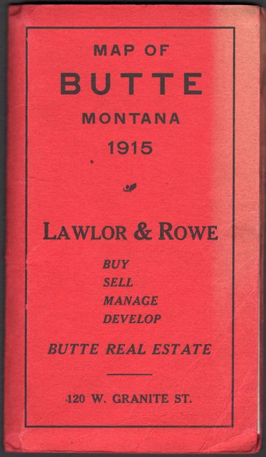
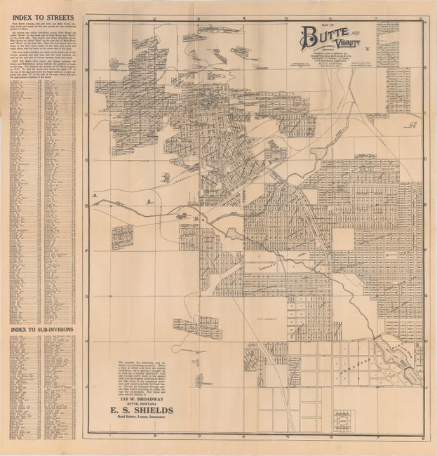
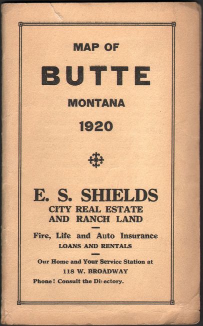
"[Lot of 3] Territory of Montana [and] Map of Butte and Vicinity Silver Bow County, Montana [and] Map of Butte and Vicinity Silver Bow County, Montana",

Subject: Montana

Period: 1879-1920 (dated)

Publication:

Color:

Size:
See Description
Download High Resolution Image
(or just click on image to launch the Zoom viewer)

A. Territory of Montana, by Samuel Augustus Mitchell, dated 1879, hand color (14.4 x 10.6"). An attractive map published 10 years prior to statehood that shows limited surveying/development in the western portion of the territory. The majority of the territory is dominated by Indian Reservations including the Flathead, Crow, Blackfeet, and more. Drainage and topography are well developed. Condition: There is a 1.5" edge tear at left and a 1.0" edge tear at right that have been closed on verso with archival tape. (B+)

B. Map of Butte and Vicinity Silver Bow County, Montana, by Harper, Macdonald & Co., dated 1915, black & white (18.9 x 22.6"). A highly detailed map of Butte showing individual lots, property owners, and the street pattern. Identifies two breweries, an electric plant, mill, race track, several railroads, and more. A detailed index to both streets and subdivisions is found at left. Published as a promotional item by Lawlor & Rowe. Folds into red paper wrappers. Condition: A clean, bright example with one tiny split at a fold intersection. Front wrapper is faded at right. (A)

C. Map of Butte and Vicinity Silver Bow County, Montana, by Harper, Macdonald & Co., dated 1920, black & white (18.5 x 22.5"). Nearly identical to the previous map - the only change appears to be a new subdivision where the race track used to be. Condition: Pleasant light toning with one tiny split at a fold intersection. Minor wear to paper wrappers. (B+)

References:

Condition:

See description above.

Estimate: $160 - $200

Sold for: $120

Closed on 3/28/2018

Archived