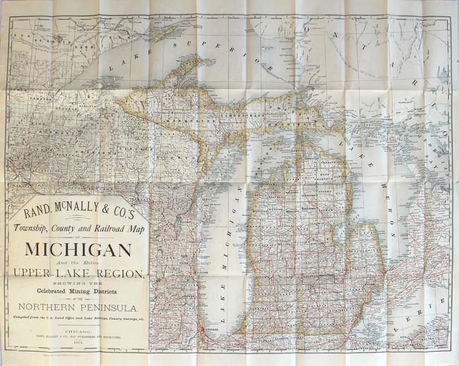
"Rand, McNally & Co.'s Township, County and Railroad Map of Michigan and the Entire Upper Lake Region, Showing the Celebrated Mining Districts of the Northern Peninsula...", Rand McNally & Co.
Subject: Michigan
Period: 1879 (dated)
Publication:
Color: Printed Color
Size:
27.3 x 20.2 inches
69.3 x 51.3 cm
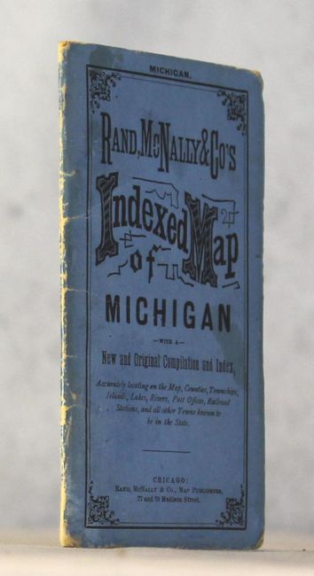
This pocket map of the state extends west to include Chicago, portions of Wisconsin, and far eastern Minnesota. It is delineated by county and features a dense railroad network in red overprinting across much of the state. On the northern peninsula, a number of copper mines are located and identified near Ontonagon. This copper rich area was subject to a mining boom in the 1840s, and by the time of the publication of this map the region produced the vast majority of country's copper. Included with the map is 27 pages of text including a railroad listing and index. Folds into blue paper wrappers (3.5 x 6.0").
References:
Condition: B+
Even light toning with several tiny splits at fold intersections. Paper wrappers have light wear and some soiling.