Fourth Edition of the Earliest First-Hand Narrative of the Lewis & Clark Expedition
"Journal of the Voyages and Travels of a Corps of Discovery, Under the Command of Capt. Lewis and Capt. Clarke of the Army of the United States...", Gass, Patrick
Subject: Western United States
Period: 1812 (published)
Publication:
Color: Black & White
Size:
4.6 x 7.3 inches
11.7 x 18.5 cm
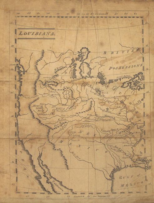
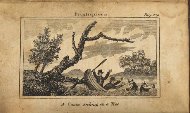
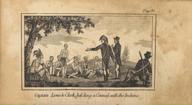
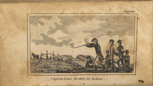
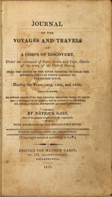
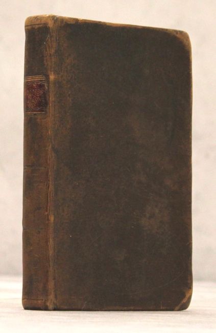
This important work is noted by Howes as the "earliest full first-hand narrative of the Lewis and Clark expedition, preceding the official account seven years." Patrick Gass joined the Lewis & Clark expedition as a private in 1804, and was appointed Sergeant in August of that same year. He was a skilled carpenter and responsible for the construction of the Corps winter quarters, as well as building canoes and wagons that would ultimately get them to the Columbia River. While his journal was not as holistic as that of Lewis & Clark, it did provide a reliable record of the journey. This fourth edition was printed in Philadelphia by Matthew Carey and, according to Streeter, includes the same text and plates as the 1810 edition and the same text as the 1807 edition (which has no plates). Unique to this edition, however, is the insertion of Carey's small map of Louisiana (7.5 x 5.6") at the front of the volume. The map covers the region from the Mississippi River to the Pacific Ocean showing basic details of the river systems, topography, and the location of various Indian tribes. The six single-page plates interspersed within the text include: "A canoe striking on a Tree", "Captain Lewis & Clark holding a Council with the Indians", "Captain Clark & his men building a line of Huts", "Captain Clark and his men shooting Bears", "An American having struck a Bear but not kill'd him escapes into a Tree", and "Captain Lewis Shooting an Indian." 262 pages, 12mo, hardbound in contemporary calf with gilt title label on spine.
References: Howes #G77; Sabin #26741; Wagner-Camp #6:7; Streeter Sale #3217; Wheat (TMW) #308.
Condition: B
The folding map has light toning, foxing, and some staining at right. Text and plates are also toned with scattered foxing and soiling. The front and rear free end papers contain manuscript notations. Covers and spine have typical wear along with bumped edges.