Catalog Archive
Auction 166, Lot 568

"Antiquorum Italiae & Illyrici Occidentalis Episcopatuu Geographica Descriptio...", Tavernier, Melchior

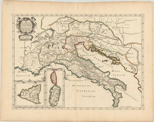
Subject: Italy, Balkans

Period: 1640 (dated)

Publication: Geographia Sacra...

Color: Hand Color

Size:
19.9 x 14.4 inches
50.5 x 36.6 cm
Download High Resolution Image
(or just click on image to launch the Zoom viewer)

This striking map covers Italy and a large segment of the Adriatic side of the Balkans. Italy is dense with place names, and there is nice topographical detail throughout the map. Insets at bottom left feature Sicily, Corsica, and Sardinia. The decorative title cartouche at top left also contains a distance scale. Engraved by Abraham de la Plaetsen.

References:

Condition: A

Original outline color on watermarked paper with just a hint of light toning along the lower centerfold and around the sheet's edges.

Estimate: $200 - $230

Sold for: $150

Closed on 2/14/2018

Archived