Catalog Archive
Auction 166, Lot 478

"Touraine. Turonensis Ducatus et Confinium Galliae Celticae Descriptio", Ortelius, Abraham

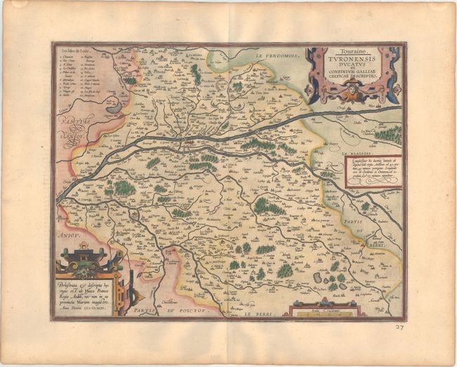
Subject: Western France

Period: 1598 (published)

Publication: Theatrum Orbis Terrarum

Color: Hand Color

Size:
18.1 x 14.1 inches
46 x 35.8 cm
Download High Resolution Image
(or just click on image to launch the Zoom viewer)

Striking map of the Loire River valley with Tours near the center. The map was compiled from cartographic information from Bougereau's Theatre Francois in 1594. Two large strapwork cartouches and distance scale decorate the map, which is beautifully engraved with forests, rivers, cities and villages. French text on verso and published in the first edition of the Theatrum in which this map appeared.

References: Van den Broecke #42.

Condition: A

A superb impression on paper with the common horn coat of arms watermark found on Ortelius maps. There is light toning along the edges of the sheet. The city of Lestoille (at top center) has been circled in old manuscript ink, and a manuscript page number appears below the map at right.

Estimate: $150 - $180

Sold for: $75

Closed on 2/14/2018

Archived