Catalog Archive
Auction 166, Lot 350

"Insulae Antillae Francicae Superiores cum Vicinis Insulis ex Commentariis Manuscriptis et Variis Navigantium Observationibus Descriptae a Petito Geometra Regio", Weigel, Christopher

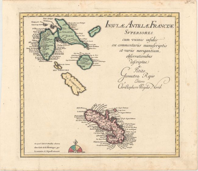
Subject: Lesser Antilles

Period: 1718 (circa)

Publication:

Color: Hand Color

Size:
14.2 x 12.9 inches
36.1 x 32.8 cm
Download High Resolution Image
(or just click on image to launch the Zoom viewer)

This is the northern sheet of a two-sheet map of the Lesser Antilles islands. Each map is complete with its own borders, but the compass rose is split between the two maps. This map includes Guadeloupe, Dominica and Martinique, with numerous place names on Guadeloupe and Martinique. Dominica is uncharted because, while it had been claimed by the French in 1635, it did not contain any colonial settlements until the early 18th century.

References:

Condition: A

Wide margins and original color on watermarked paper with a printer's crease that enters map image at bottom. There is marginal soiling and an archivally repaired tear in lower blank margin.

Estimate: $240 - $300

Unsold

Closed on 2/14/2018

Archived