Catalog Archive
Auction 166, Lot 270

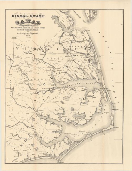
"Dismal Swamp Canal Connecting Chesapeake Bay with Currituck, Albemarle and Pamlico Sounds and Their Tributary Streams",

Subject: North Carolina, Virginia

Period: 1867 (dated)

Publication:

Color: Black & White

Size:
16.3 x 21.1 inches
41.4 x 53.6 cm
Download High Resolution Image
(or just click on image to launch the Zoom viewer)

An attractive and scarce map of the Outer Banks spanning from the Chesapeake Bay to Cape Lookout. Locates two hotels in the vicinity of Nags Head, and several railroads are shown connecting the coastline to the interior. Surveying completed by D.S. Walton and published by E.C. Robinson in Norfolk. There are no historical sales records for this map, and OCLC locates only six records.

References:

Condition: B

On a bright sheet with a number of fold separations that have been mostly closed on verso with archival tape. There are a few tiny holes only visible when held to light.

Estimate: $160 - $200

Sold for: $250

Closed on 2/14/2018

Archived