Catalog Archive
Auction 166, Lot 206

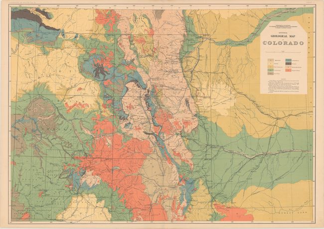
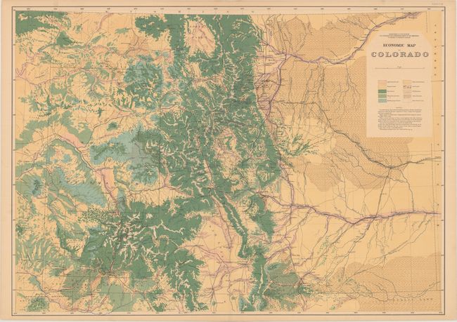
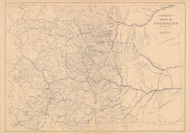
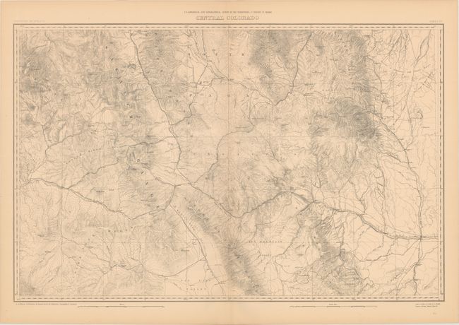
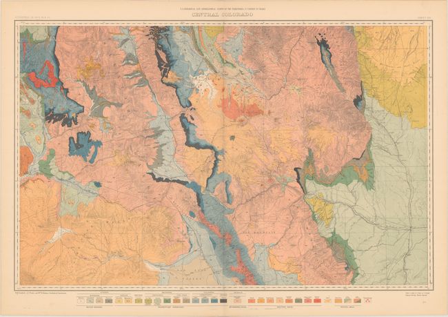
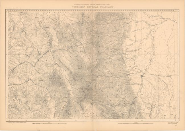
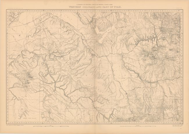
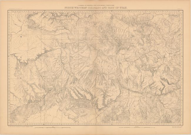
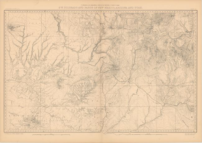
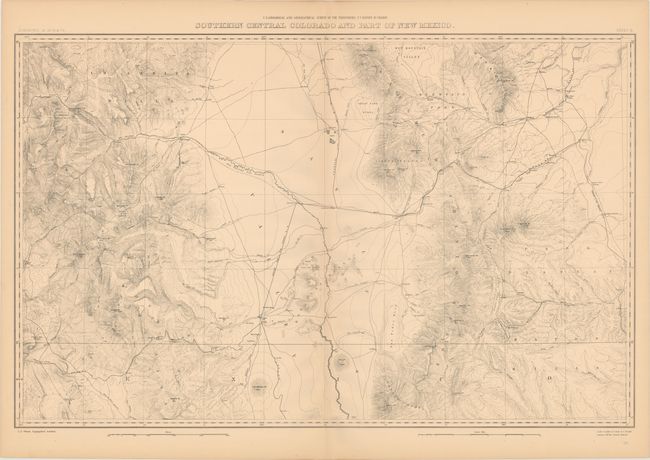
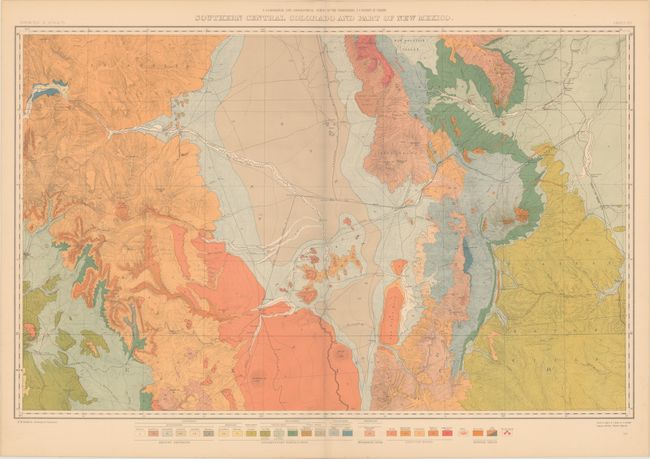
"[Lot of 11 - Atlas of Colorado Maps]", Hayden, Ferdinand Vandeveer

Subject: Colorado, Utah, New Mexico

Period: 1881 (published)

Publication: Geological and Geographical Atlas of Colorado and Portions of Adjacent Territory

Color: Printed Color

Size:
35.4 x 25.4 inches
89.9 x 64.5 cm
Download High Resolution Image
(or just click on image to launch the Zoom viewer)

This lot includes eleven maps from the seminal Hayden survey (issued with 16 maps and 20 total plates). The survey was conducted from 1873 to 1876, and first published in 1877 with an updated edition in 1881 offered here that showed completed and projected railroads. Rich with detail, Hayden’s map are considered the best mapping of the period and laid the foundation for the mapping of Colorado. The full list of maps include:

A. General Geological Map of Colorado.
B. Economic Map of Colorado.
C. Drainage Map of Colorado, dated 1877.
D. [Topograhical] Central Colorado, circa 1875, black & white.
E. [Geological] Central Colorado, circa 1875.
F. Northern Central Colorado, circa 1875, black & white.
G. Western Colorado and Part of Utah, circa 1876, black & white.
H. North-Western Colorado and Part of Utah, circa 1876, black & white.
I. S.W. Colorado and Parts of New Mexico, Arizona and Utah, circa 1875, black & white.
J. [Topograhical] Southern Central Colorado and Part of New Mexico, circa 1875, black & white.
K. [Geological]Southern Central Colorado and Part of New Mexico, circa 1875.

References: Wheat (TMW) #1281.

Condition: A

The maps are clean and bright with very occasional light toning.

Estimate: $600 - $750

Sold for: $425

Closed on 2/14/2018

Archived