Catalog Archive
Auction 166, Lot 193

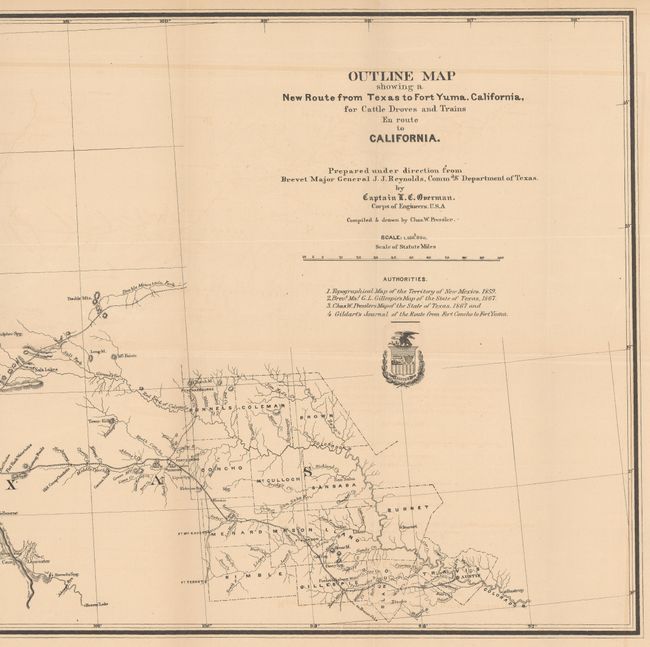
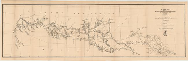
"Outline Map Showing a New Route from Texas to Fort Yuma, California, for Cattle Droves and Trains En Route to California", U.S. Corps of Engineers

Subject: Southwestern United States

Period: 1880 (circa)

Publication:

Color: Black & White

Size:
49.3 x 14.4 inches
125.2 x 36.6 cm
Download High Resolution Image
(or just click on image to launch the Zoom viewer)

This unusual map, created by Capt. O.C. Overman, begins in Austin and shows in great detail the route to Fort Yuma, Arizona Territory. The route travels though numerous Army forts along the way: Cocho, Stockton, Quickman, Bliss, Selder, Commings, and the famous Ft. Bowie. It also passes though Maricopa Village and Wells and the Pima Villages, the site of today's Phoenix. There is remarkable detail of water holes, springs, grazing areas, missions, camps, Indian villages, and mines. The map lists four authorities including Pressler's Map of Texas (1867) and Gildart's Journal. The map's cartography is circa 1867, but was published in this 1880 report.

References: Wheat (TMW) #1216.

Condition: B+

Issued folding with light toning and offsetting.

Estimate: $350 - $425

Sold for: $180

Closed on 2/14/2018

Archived