Catalog Archive
Auction 165, Lot 99

"United States", Lucas, Fielding

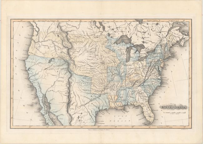
Subject: United States

Period: 1823 (circa)

Publication: A General Atlas Containing Distinct Maps of All the Known Countries in the World...

Color: Hand Color

Size:
19.1 x 11.6 inches
48.5 x 29.5 cm
Download High Resolution Image
(or just click on image to launch the Zoom viewer)

This rare map of the United States shows early territorial configurations in the middle of the country. The newly formed state of Missouri is shown, with Arkansas Territory to the south, and a huge Oregon Territory encompassing most of the Midwest and Pacific Northwest. Texas and the Southwest are still part of Mexico, and the border between the United States and British Columbia is left unmarked, acknowledging the disputed land. In addition to political boundaries, the river systems are well depicted throughout, and numerous Native Indian tribes are located. Lucas' General Atlas is known as one of the finest general atlases produced in the U.S. at the time, due to the high quality paper, superior engraving quality, and attractive coloring style. Drawn by Lucas and engraved by B. T. Welch & Co.

References: Phillips (Atlases) #742-49.

Condition: A

Original wash color with short centerfold separations confined to the blank margins that have been archivallyr repaired on verso.

Estimate: $800 - $1,000

Sold for: $650

Closed on 11/15/2017

Archived