Catalog Archive
Auction 165, Lot 97

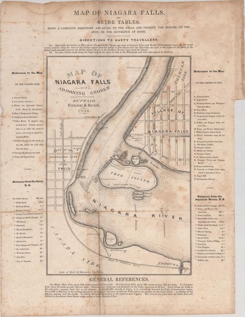
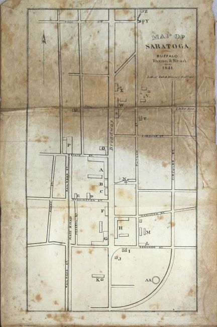
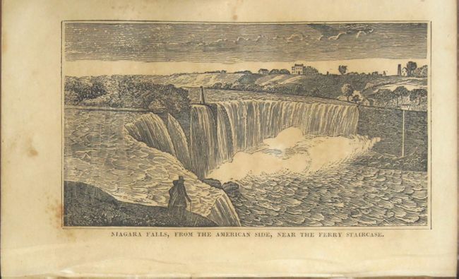
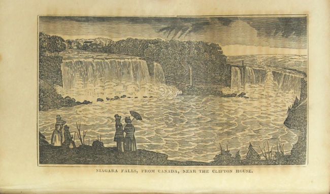
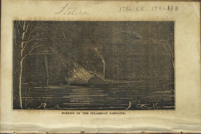
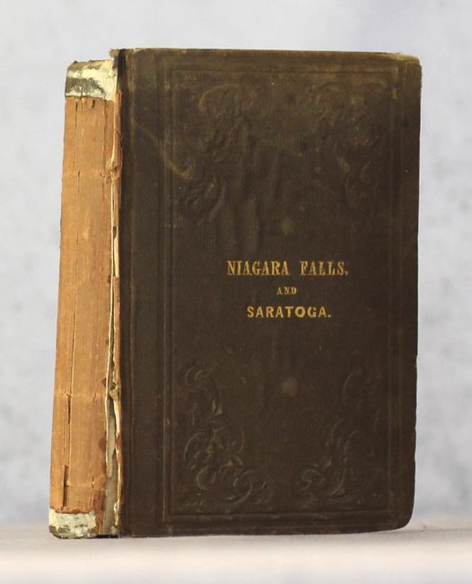
"The Travellers' Own Book, to Saratoga Springs, Niagara Falls and Canada, Containing Routes, Distances, Conveyances, Expenses, Use of Mineral Waters, Baths, Description of Scenery, Etc...",

Subject: New York, Canada

Period: 1842 (published)

Publication:

Color: Black & White

Size:
4.1 x 6 inches
10.4 x 15.2 cm
Download High Resolution Image
(or just click on image to launch the Zoom viewer)

This is the third edition of Samuel De Veaux's travel guide covering popular tourist destinations in Saratoga Springs, Niagara Falls, and Canada. Opposite the title page is Map of Niagara Falls and Adjoining Shores (6.5 x 9.8"), which is surrounded by "directions to hasty travellers," keys to sites of interest on both the Canadian and American side, and distances between various locations. There is another foldout map, Map of Saratoga (4.5 x 8.0"), that depicts the town in plan form, with a reference key on the opposing page. The text discusses scenery, the medicinal value of Niagara Falls and Saratoga Springs, the Battle of Queenston Heights (the first battle of the War of 1812), and various towns and cities such as Poughkeepsie, Albany, Buffalo, Toronto, and Montreal. There are seven illustrations, including views of Niagara Falls from both the American and the Canadian sides, the burning of the steamboat Caroline, and Brock's Monument. 251 pages Hardbound in brown stamped cloth with gilt title on front cover.

References:

Condition: B

Both maps are issued folding with moderate foxing and damp stains. The Niagara Falls map is loose. Text is foxed with manuscript notations on the <i>Caroline</i> illustration. Covers are stained with moderate shelf wear. The spine label is missing, but the covers are still loosely attached.

Estimate: $140 - $170

Sold for: $100

Closed on 11/15/2017

Archived