Catalog Archive
Auction 165, Lot 803

NO RESERVE

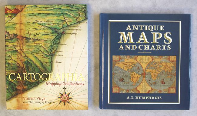
"[Lot of 2] Cartographia - Mapping Civilizations [and] Antique Maps and Charts",

Subject: References

Period: 1989-2007 (published)

Publication:

Color: Printed Color

Size:
See Description
Download High Resolution Image
(or just click on image to launch the Zoom viewer)

A. Cartographia - Mapping Civilizations, by Vincent Virga, published 2007, (10.4 x 13.3"). This beautiful reference by "America's foremost picture editor" Vincent Virga includes more than 200 maps selected from the Geography and Map Division of the Library of Congress. It features illustrations of rare maps and curiosities, among them Waldseemuller's 1507 map of the world, William Faulkner's hand-drawn map of his fictional Yoknapatawpha County, and a map of the human genome from 2001. Hardbound with illustrated covers and dust jacket. 266 pages. Condition: Like new. (A+)

B. Antique Maps and Charts, by A.L. Humphreys, published 1989, (11.3 x 12.1"). Originally published as "Old Decorative Maps and Charts" in 1929, this reprint includes an introduction by Jonathan Potter. Spanning 300 years of researched works compiled by A.G.H. Macpherson, Humphrey's running commentary contains factual evidence, background information, and legends regarding antique maps and map-making. 32 full color and 62 B & W illustrations, 191 pages. Hardbound in blue cloth boards with illustrated dust jacket. Condition: Contents and covers tight with a hint of shelf wear. The reverse side of the dust jacket has a short tear. (A)

References:

Condition:

See description above.

Estimate: $90 - $120

Sold for: $42

Closed on 11/15/2017

Archived