Catalog Archive
Auction 165, Lot 799

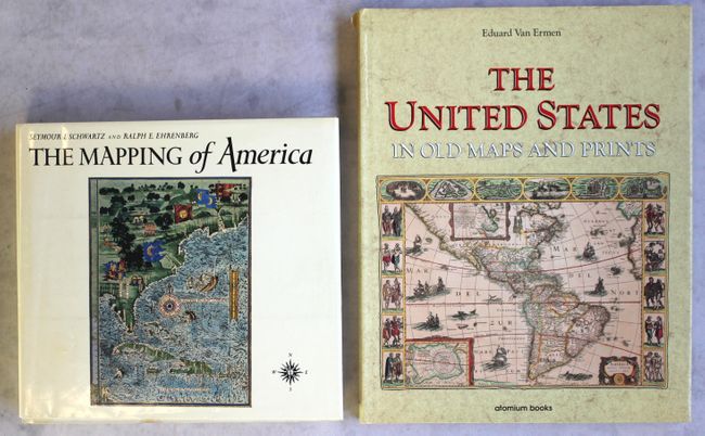
"[Lot of 2] The Mapping of America [and] The United States in Old Maps and Prints",

Subject: References

Period: 1980-90 (published)

Publication:

Color: Printed Color

Size:
See Description
Download High Resolution Image
(or just click on image to launch the Zoom viewer)

A. The Mapping of America, by Seymour I. Schwartz and Ralph E. Ehrenberg, published 1980, (11.8 x 10.9"). A significant reference book that presents a detailed, analytic history of the mapping of North America, emphasizing the area that comprises the United States. Two major periods are covered; the first extending from 1500 to 1800 and the second from 1800 to the present. Illustrated with 223 plates, 84 in full color, 363 pages, index. Hardbound in white cloth with illustrated dust jacket. An often quoted reference work. Condition: Contents very good with minor toning along the sheets' edges. Covers have light soiling and a couple small damp stains along the bottom edge. Dust jacket has minor soiling and wear. (B+)

B. The United States in Old Maps and Prints, by Eduard Van Ermen, published 1990, (12.1 x 15.1"). This beautifully illustrated book features 78 rich, colorful reproductions of maps of the United States covering three centuries, from 1570 to 1870. A terrific reference for an important subject that is described by the author as follows, "Whereas in Europe the primary task of cartography was to visualize a densely populated and long-known continent, in America the challenge was much greater: the growth of cartography went hand in hand with the exploration and colonization the previously unknown continent." Hardbound in tan cloth with gilt titles on cover and spine and an illustrated dust jacket. 144 pages. Condition: Contents and covers like new. Dust jacket has a couple short tears along the spine. (A)

References:

Condition:

See description above.

Estimate: $120 - $150

Sold for: $60

Closed on 11/15/2017

Archived