Catalog Archive
Auction 165, Lot 612

"Plan du Golfe de Porto Vecchio Situe a la Cote Orientale de l'Ile de Corse Leve en 1824...", Depot de la Marine

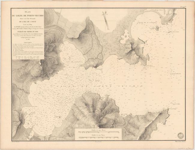
Subject: Porto-Vecchio, Corsica

Period: 1828 (dated)

Publication: Pilote de l'Isle de Corse

Color: Black & White

Size:
23.2 x 17.8 inches
58.9 x 45.2 cm
Download High Resolution Image
(or just click on image to launch the Zoom viewer)

This scarce chart centers on the Gulf of Porto-Vecchio in the southeastern part of Corsica. It depicts the city of Porto-Vecchio in miniature plan form with the nearby salt works plotted out as well. The topography of the coastline is rendered in stunningly intricate detail, and the water is filled with navigational information such as soundings, anchorages, bottom types, and rocks. There is a compass rose at top and two distance scales at bottom. The chart is credited to a French naval officer named Captain Hell. Drawn by Besancon and engraved by Chocarne. The engraved seal of the Depot de la Marine is at bottom right with the price below: Prix. Deux Francs.

References:

Condition: A

A nice example on a faintly toned sheet with a Depot de la Marine watermark. There is a small hole at bottom right, a few minor spots, and a short edge tear in the right blank margin that has been closed on verso with archival tape.

Estimate: $500 - $650

Unsold

Closed on 11/15/2017

Archived