Catalog Archive
Auction 165, Lot 603
"Imperium Romanum", Moll, Herman
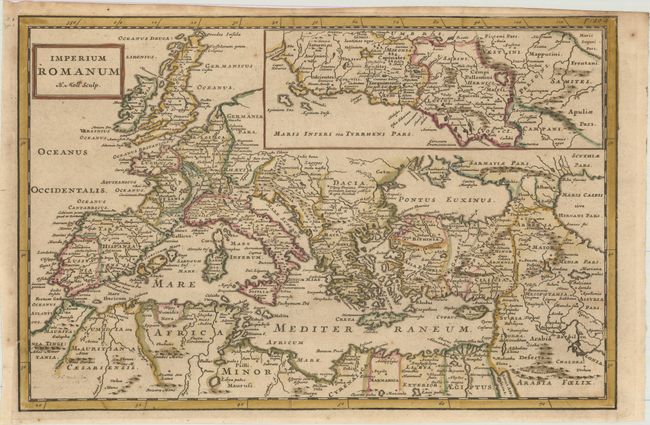
Subject: Mediterranean
Period: 1711 (published)
Publication: Introductio in Universam Geographiam
Color: Hand Color
Size:
13.6 x 8.9 inches
34.5 x 22.6 cm
Download High Resolution Image
(or just click on image to launch the Zoom viewer)
(or just click on image to launch the Zoom viewer)