Catalog Archive
Auction 165, Lot 534

"Austriae Descrip. per Wolfgangum Lazium", Ortelius, Abraham
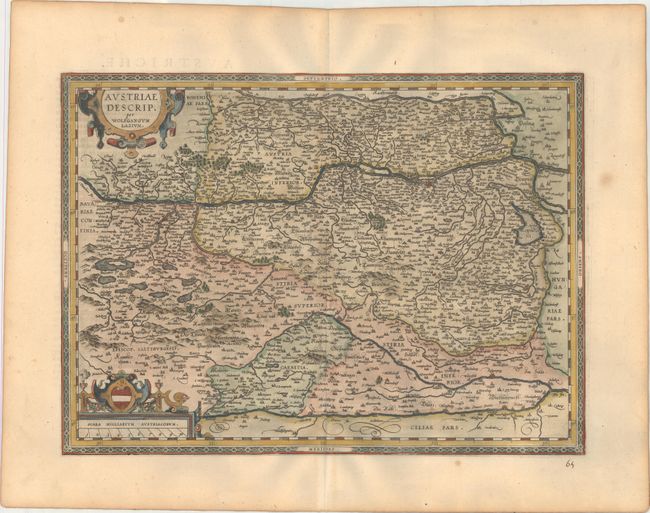
Subject: Austria

Period: 1598 (published)

Publication: Theatrum Orbis Terrarum

Color: Hand Color

Size:
19.1 x 13.9 inches
48.5 x 35.3 cm
Download High Resolution Image
(or just click on image to launch the Zoom viewer)

This handsome map of Austria presents a distorted picture of the course of the rivers Drau, Mur, Gurk and Lavant with numerous spurious lakes. The rivers in the north are much more accurately represented. Ortelius based this map on the cartography of Wolfgang Lazius. This is the second plate, updated with two strapwork cartouches. French text on verso.

References: Van den Broecke #106.

Condition: A

A dark impression on a clean, bright sheet bearing the horn watermark commonly found on Ortelius maps. There is light toning along the edges of the sheet, a few spots of foxing in the blank margins, and a manuscript page number below the neatline.

Estimate: $200 - $240

Sold for: $150

Closed on 11/15/2017

Archived