Catalog Archive
Auction 165, Lot 348

"Die Insulen in West America, sa Unter dem Nahmen Antilles, Cuba, St. Dominique, Jamaica, Caribes u. du Vent...", Bodenehr, Gabriel
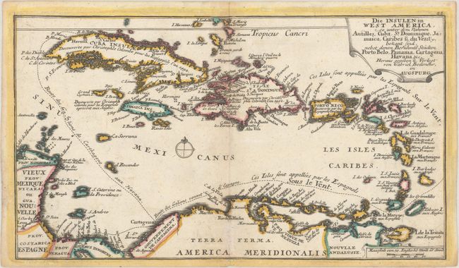
Subject: Caribbean

Period: 1738 (circa)

Publication: Supplement oder Zusaz zu dem Atlas Curieux

Color: Hand Color

Size:
12 x 6.9 inches
30.5 x 17.5 cm
Download High Resolution Image
(or just click on image to launch the Zoom viewer)

This rare, small French map of the Caribbean gives a Spanish perspective of the islands. The shipping routes from Spain to Cartagena, Cartagena to Porto Bello and Cartagena to Havana are shown. Notations indicate that the Spaniards call the Leeward and Windward Islands "Sur le Vent" (on the wind) and the islands off the coast of South America, including the ABC Islands, "Sous le Vent" (downwind). Cuba, Hispaniola and Jamaica are noted as having been discovered by Christopher Columbus on behalf of Spain, and Puerto Rico was also discovered by the Spanish. Published by Georg Christoph Kilian in a supplement to Bodenehr's Atlas Curieux.

References: Phillips (Atlases) #4283-22.

Condition: B+

Minor toning with light soiling and one tiny hole just north of Puerto Rico.

Estimate: $300 - $400

Sold for: $220

Closed on 11/15/2017

Archived