Catalog Archive
Auction 165, Lot 286

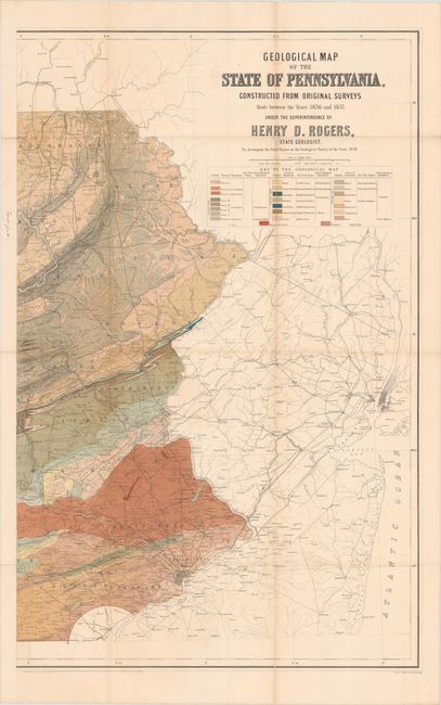
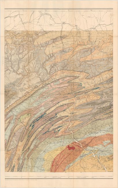
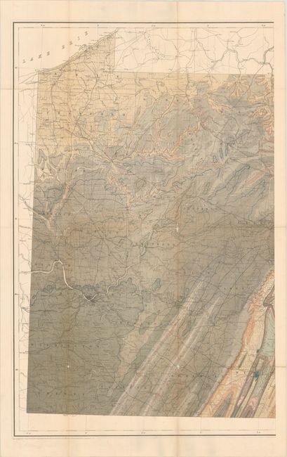
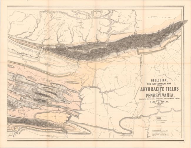
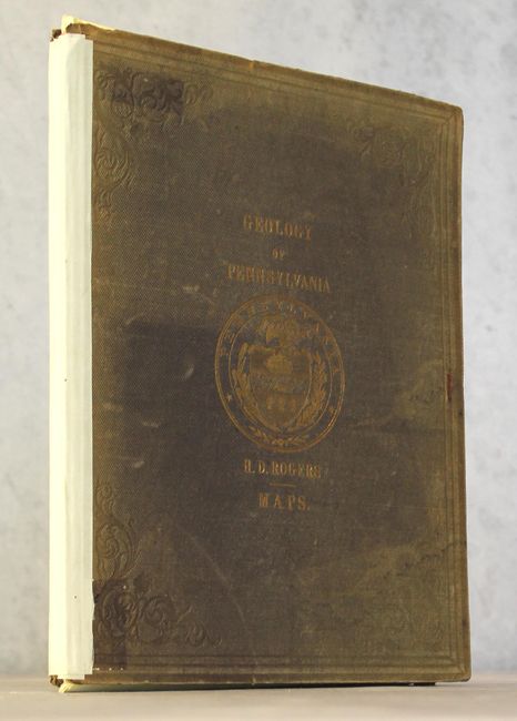
"[Lot of 7 - Portfolio Atlas] Geology of Pennsylvania", Rogers, Henry Darwin

Subject: Pennsylvania

Period: 1858 (dated)

Publication:

Color: Printed Color

Size:
10 x 12.6 inches
25.4 x 32 cm
Download High Resolution Image
(or just click on image to launch the Zoom viewer)

Begun in 1836 and lasting until 1842, the first Pennsylvania Geological Survey would not publish its results until 1858 due to budget problems and other delays. Despite these setbacks, in George Merrill's words, Rogers' final report "was an epoch-making work, and beyond question the most important document on the geology of America that had appeared up to date, with the exception of the final reports of the New York Survey." These geologic maps accompanied the final report (not included) and were the first such maps prepared for the state. They contain impressive cultural and topographical detail, including cities, towns, street grids, county names and boundaries, roads, railroads, mills, ferrys, springs (water, salt and oil!), and more. The geologic color scheme adopted by Rogers nicely accentuates the complex folded structure of the Appalachian Mountains (H. D. and W. B. Rogers were the first to work out the folded nature of the Appalachians) giving this map a very pleasing appearance. The contents of the portfolio include:

A. [On 3 Sheets] Geological Map of the State of Pennsylvania, Constructed from Original Surveys Made Between the Years 1836 and 1857..., printed color (23.1 x 36.4").

B. [On 2 Sheets] Geological and Topographical Map of the Anthracite Fields of Pennsylvania, Constructed from Original Explorations and Instrumental Surveys..., printed color (35.2 x 26.2").

C. [On 2 Sheets] Geological Sections Across Pennsylvania, to Illustrate the Geological Map of the State, black & white (36.9 x 22.6").

Lithography and engraving by W & A. K. Johnston. Housed in quarto, original tan cloth boards with gilt title on front cover.

References: Marcou & Marcou #281 & #282.

Condition: B+

Condition code is for the maps, which are overall very good with light toning and occasional faint color offsetting. There are a number of fold separations repaired on verso with archival tape as well as numerous splits at fold intersections with only occasional, minor loss of image. The spine of the portfolio is missing and the boards are held together by linen tape. Maps are housed in a manilla envelope which is affixed to the inside front board. Ex-library with faded covers.

Estimate: $600 - $750

Sold for: $450

Closed on 11/15/2017

Archived