Catalog Archive
Auction 165, Lot 271

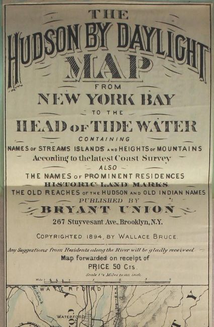
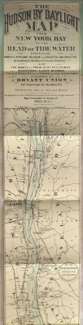
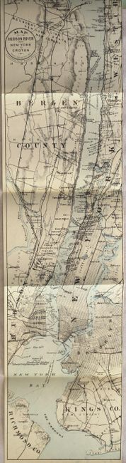
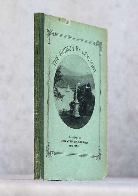
"The Hudson by Daylight Map from New York Bay to the Head of Tide Water...", Bruce, Wallace

Subject: New York

Period: 1902 (published)

Publication:

Color: Hand Color

Size:
108.2 x 5.4 inches
274.8 x 13.7 cm
Download High Resolution Image
(or just click on image to launch the Zoom viewer)

A remarkable map in strip-chart format that is over 100 inches long! Includes amazing detail that is drawn on a scale of 1.5 miles per inch. Complied from U.S. Coast Survey data, this extraordinary map includes the names of prominent residences along the Hudson, historical landmarks and Indian names. Blank verso. Complete with 30 pp. of text and illustrated with photographs. Folds into paper wrappers entitled "The Hudson By Daylight." The map is dated 1894, but the pamphlet was published in 1902 by Bryant Union Company in New York.

References:

Condition: B+

The folding map is clean, bright, and near fine. Text is very good with even light toning. Paper wrappers have minor soiling and a few small chips along the edges. The spine has been reinforced with cloth tape.

Estimate: $275 - $350

Sold for: $150

Closed on 11/15/2017

Archived