Catalog Archive
Auction 165, Lot 217

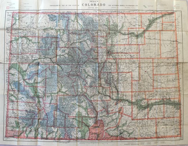
"Nell's Topographical Map of the State of Colorado", Nell, Louis
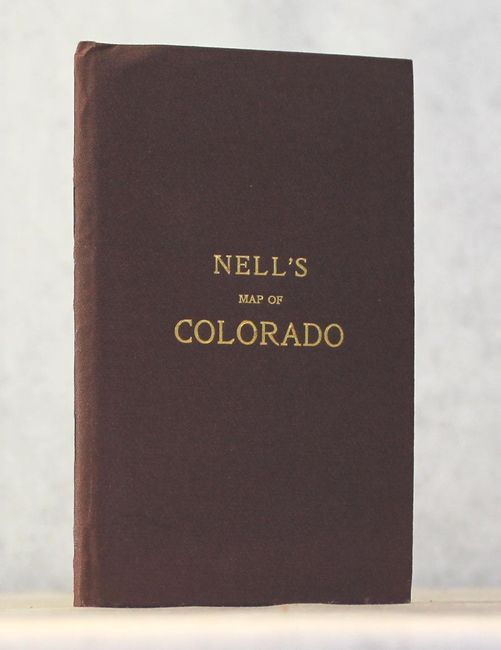
Subject: Colorado

Period: 1907 (dated)

Publication:

Color: Printed Color

Size:
39.1 x 28.8 inches
99.3 x 73.2 cm
Download High Resolution Image
(or just click on image to launch the Zoom viewer)

This highly detailed pocket map by Louis Nell "has been complied from all available surveys in existence, it is consequently the most complete and accurate one ever published, and shows all the information useful to settlers, miners and travelers." The map is fully engraved with virtually no area left untouched by the engraver and is drawn on a scale of 10 miles per inch. Beautifully colored to indicate Forest Reserves (fourteen), agricultural lands, timber reserves, watershed and creeks. Locates all towns, villages, settlements, mining areas, railroads, townships, and has contour lines at 1000' intervals.

Nell came to Colorado in the mid-1870s as a topographical assistant to George Wheeler. Nell enjoyed the area so much that he settled there and published a series of maps of the state from 1880-1907, forming one of the most continuous cartographic records available for the period immediately following statehood. His detailed maps captured the rapid development of the area, including the great Silver Boom during the 1880s-90s. This is the final edition, sold by the Kendrick Book & Stationery Company. A scarce issue.

References: Brown (Portolan - Spring 2019) pp. 47-53.

Condition: B+

The map has a number of fold separations primarily along a center horizontal fold with no paper loss. There is minor soiling with a few minor pencil notations confined to the blank margins. Case is near fine.

Estimate: $600 - $750

Sold for: $450

Closed on 11/15/2017

Archived