Catalog Archive
Auction 165, Lot 103

Scarce Issue - Only 2 Sales Records Located in the Last 30 Years

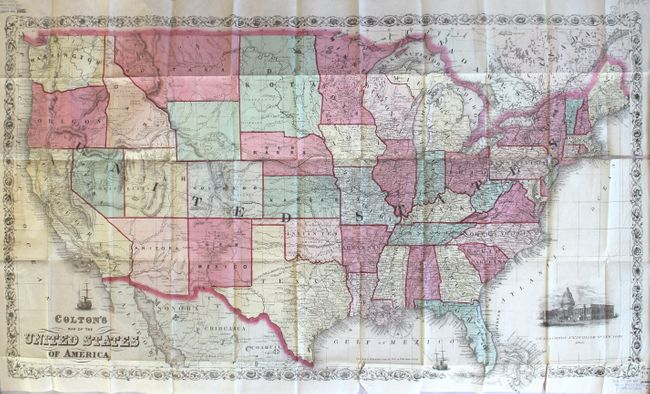
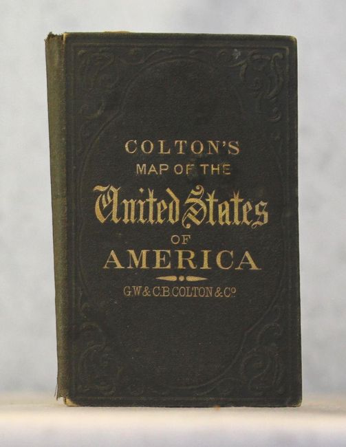
"Colton's Map of the United States of America", Colton, G.W. & C.B.

Subject: United States

Period: 1866 (dated)

Publication:

Color: Hand Color

Size:
33.8 x 19.1 inches
85.9 x 48.5 cm
Download High Resolution Image
(or just click on image to launch the Zoom viewer)

This is a great large-format map of the United States with evolving western territorial boundaries. A large Dakota Territory appears to include an unnamed Wyoming and eastern edge of present-day Idaho, although a boundary line has been drawn in separating the two. Wyoming Territory was not formally established until 1868, or two years after the publication of this map. Also of note is Nebraska Territory, which has a very unusual "chip" out of its northern boundary. In the southwest, Arizona Territory includes the southern tip of present-day Nevada. The map is filled with place names, forts, and Indian tribes as well as several proposed routes for a transcontinental railroad, the Pony Express route, and trader routes to Santa Fe. Decorated by a sailing ship, a vignette of the Capitol building, and surrounded by a floral border. Folds into original brown cloth boards with gilt tile on front cover. There has been only one dealer listing and one auction record for this map in the last 30 years.

References:

Condition: B

A clean and colorful example with a 5" fold separation at right and a 2" separation at bottom. There are several other small splits at fold intersections with only minor loss. Old stamps from a defunct society are visible in the top left and bottom right blank margins. Covers are very good.

Estimate: $800 - $950

Sold for: $600

Closed on 11/15/2017

Archived