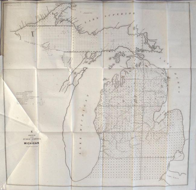
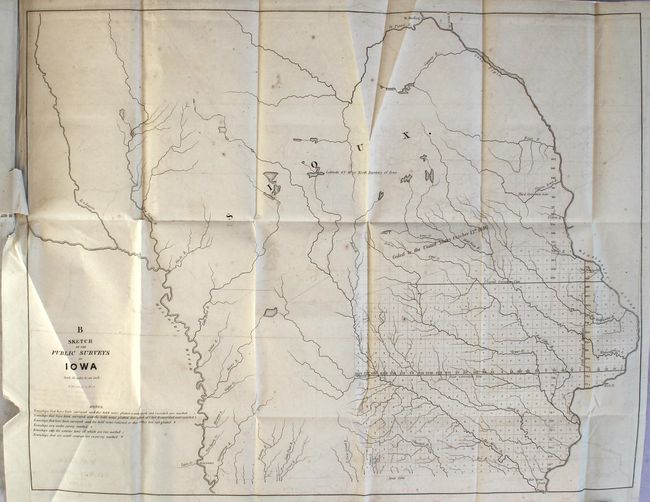
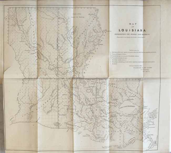
"[10 Maps Bound in] Report from the Acting Secretary of the Treasury, Communicating the Annual Report of the Commissioner of the General Land Office", General Land Office
1 of 4
Subject: Exploration & Surveys
Period: 1847 (published)
Publication: Sen. Ex. Doc. No. 2, 30th Congress, 1st Session
This early annual report contains ten maps detailing the progress of public surveys in the United States. The maps included with the 230 page report are:
A Sketch of the Public Surveys in Indiana Sketch of the Public Surveys in Michigan Sketch of the Public Surveys in Iowa Sketch of the Public Surveys in Wisconsin Diagram of the State of Missouri Arkansas Diagram of the Surveying District South of Tennessee Map of Louisiana Representing the Several Land Districts A Diagram of the State of Alabama Diagram of Boundary Line between Michigan and Wisconsin...
These maps are bound into the original report by McClintock Young, Acting Secretary of the Treasury to the Hon. George M. Dallas, Vice President and President of the Senate. Disbound.
References:
Condition: B+
The maps are very good with light offsetting and occasional foxing. A few of the maps have short binding tears. In overall better condition than typically seen.