Catalog Archive
Auction 164, Lot 759

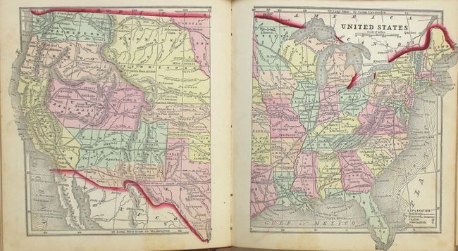
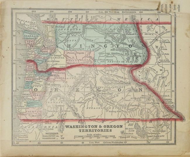
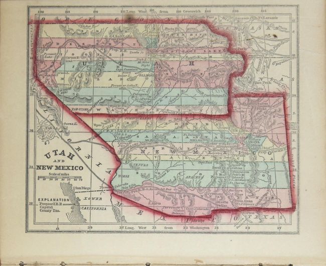
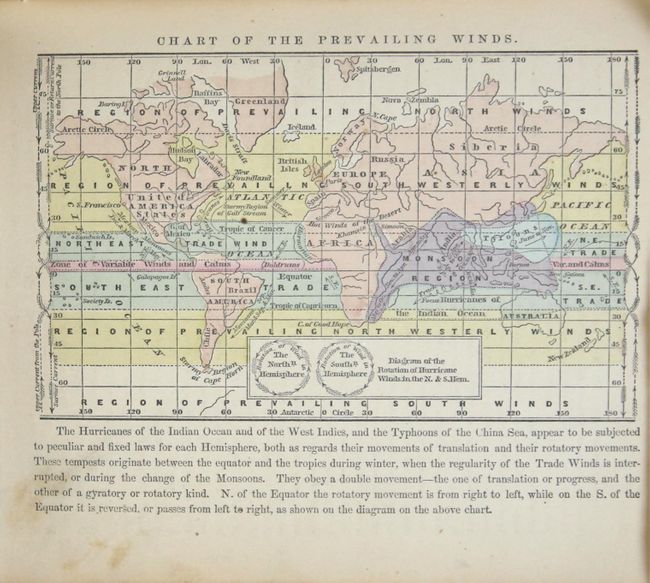
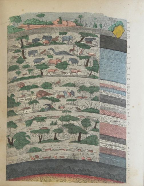
"The Diamond Atlas. With Descriptions of All Countries: Exhibiting Their Actual and Comparative Extent, and Their Present Political Divisions...", Morse & Gaston

Subject: Atlases

Period: 1859 (published)

Publication:

Color: Hand Color

Size:
6.5 x 7.6 inches
16.5 x 19.3 cm
Download High Resolution Image
(or just click on image to launch the Zoom viewer)

This is a very desirable edition of this small atlas that contains pre-Civil War American state and territory maps. A total of 55 plates and maps include 12 related to physical geography, double-page maps of the world and United States, North America, 3 of Canada, 31 of U.S. states and territories, and 6 of Mexico/Latin America. The United States map shows large territorial configurations in the west including a huge Nebraska Territory and the southern portion of New Mexico Territory is labeled Arizona, 4 years prior to the territory's creation. Other maps of interest include Washington & Oregon territories, Utah & New Mexico, and several interesting thematic world maps showing data like animal distribution, religions and climate. 239 pages, hardbound in red leather with gilt stamping. All edges gilt.

References:

Condition: B+

The maps have light toning and occasional scattered foxing. The map of Washington Territory has a small chip in the image at top right. The binding is somewhat loose and the extremities are moderately rubbed.

Estimate: $400 - $500

Unsold

Closed on 9/13/2017

Archived