Catalog Archive
Auction 164, Lot 750

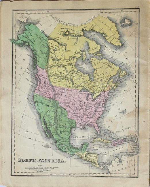
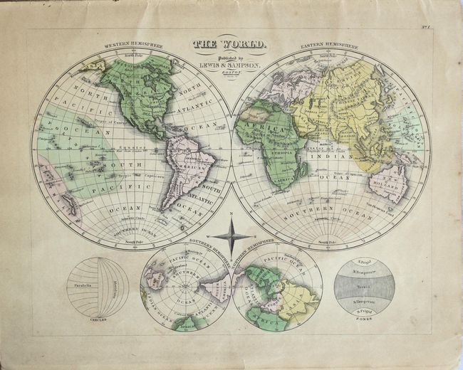
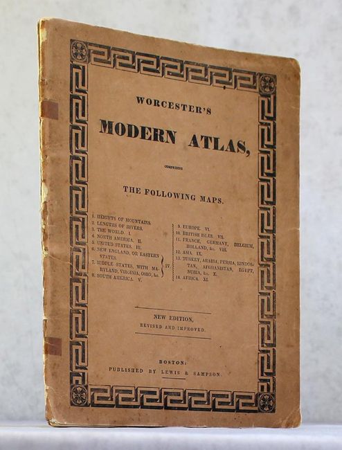
"Worcester's Modern Atlas...", Lewis & Sampson

Subject: Atlases

Period: 1835 (circa)

Publication:

Color: Hand Color

Size:
9.6 x 12.1 inches
24.4 x 30.7 cm
Download High Resolution Image
(or just click on image to launch the Zoom viewer)

This attractive and uncommon school atlas contains 1 double-page map, 11 single-page maps, and a comparative chart of mountains and rivers. The double-page map of the United States depicts the eastern states with Iowa, Missouri and Arkansas territories all having provisional western borders. The region to the west of the Missouri River is simply West Territory and Emigrant Indians. Texas is still shown as part of Mexico. The atlas features maps of the World (1), North America (4), South America (1), Europe (3), Asia (2), and Africa (1). Published by Lewis & Sampson in Boston.

References:

Condition: B+

Original color with even, light toning and only a few spots of foxing. Paper wrappers have separated and are held together by tape. A few maps are loose.

Estimate: $275 - $350

Unsold

Closed on 9/13/2017

Archived