Catalog Archive
Auction 164, Lot 630

"Turcici Imperii Imago", Hondius, Jodocus

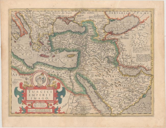
Subject: Eastern Mediterranean & Middle East

Period: 1633 (published)

Publication: Gerardi Mercatoris - Atlas sive Cosmographicae

Color: Hand Color

Size:
19.1 x 14.3 inches
48.5 x 36.3 cm
Download High Resolution Image
(or just click on image to launch the Zoom viewer)

A portrait of Sultan Mehmed II, who conquered Constantinople and brought an end to the Byzantine Empire, tops the title cartouche for this handsome map of the Ottoman Empire. The map extends from the Balkan peninsula through the Caspian Sea in the north and from Northern Africa through the Arabian peninsula in the south. The regions are divided in a similar manner to Ortelius' map of the area. The coastlines of the Red Sea are exaggerated, as are the number and size of the islands. The Red Sea is given four different names: Marre de Mecca, Bohar Corsum, Mare Rubrum and Sinus Arabicus. German text on verso.

References: Ankary #36; Tibbetts #62; Van der Krogt (Vol. I) #8100:1A.

Condition: B+

Full original color with faint damp stains along centerfold at bottom and the edges of the sheet. There are two cracks at far left that have been archivally repaired on verso; otherwise the paper is quite supple.

Estimate: $650 - $800

Sold for: $300

Closed on 9/13/2017

Archived