Catalog Archive
Auction 164, Lot 620

"In Notitiam Ecclesiasticam Africae Tabula Geographica", Delisle/Covens & Mortier

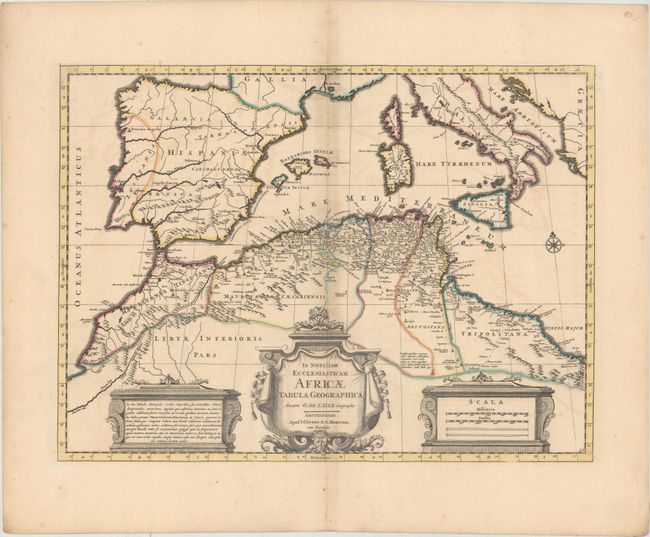
Subject: Western Mediterranean

Period: 1700 (circa)

Publication:

Color: Hand Color

Size:
20.9 x 15.4 inches
53.1 x 39.1 cm
Download High Resolution Image
(or just click on image to launch the Zoom viewer)

This boldly engraved map focuses on the regions controlled by the Moors in northern Africa and the Iberian Peninsula in the latter part of the medieval period. The map displays good detail along the north African coast from Morocco to Libya. It also covers the western Mediterranean with the islands of Sardinia, Corsica, Malta and the Balearics. Sicily features a smoking Mount Aetna. Three decorative cartouches and a compass rose complete the composition.

References: Norwich #297.

Condition: B+

Wide margins with original outline color, faint offsetting, and light toning along centerfold. There is a minute hole in northern Spain due to a paper flaw.

Estimate: $200 - $230

Unsold

Closed on 9/13/2017

Archived