Catalog Archive
Auction 164, Lot 515
"Isle de France, Champagne, Lorraine &c", Sanson, Nicolas
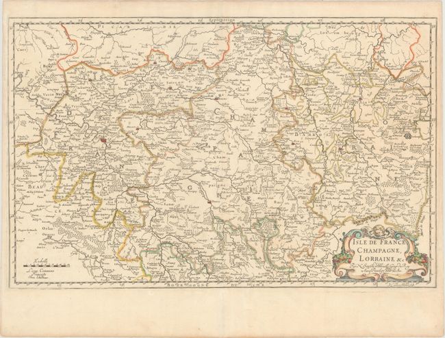
Subject: Northern France
Period: 1679 (dated)
Publication:
Color: Hand Color
Size:
23.1 x 14.6 inches
58.7 x 37.1 cm
Download High Resolution Image
(or just click on image to launch the Zoom viewer)
(or just click on image to launch the Zoom viewer)