Catalog Archive
Auction 164, Lot 387

"Algemeene Kaart van de Westindische Eilanden", Tirion, Isaac
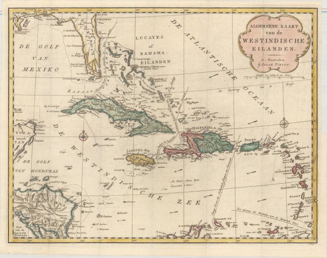
Subject: Caribbean

Period: 1769 (circa)

Publication: Nieuwe en Beknopte Hand-Atlas

Color: Hand Color

Size:
18.1 x 13.8 inches
46 x 35.1 cm
Download High Resolution Image
(or just click on image to launch the Zoom viewer)

A fine, interesting chart of the Caribbean, also showing part of Florida, the Yucatan, and Central America. Even small islands are well-represented and navigational hazards are marked. Major sea routes are noted as well as the direction of the prevailing winds. Title cartouche and two compass roses decorate the chart. Engraved by J. Condet.

References: Shirley (BL Atlases) T.TIR-2a.

Condition: A

A crisp impression, issued folding on a clean, bright sheet. There is a binding trim at right, but still ample room for framing.

Estimate: $275 - $350

Unsold

Closed on 9/13/2017

Archived