Catalog Archive
Auction 164, Lot 307

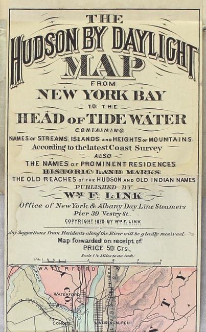
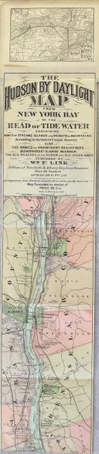
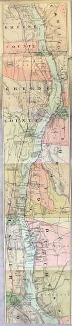
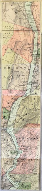
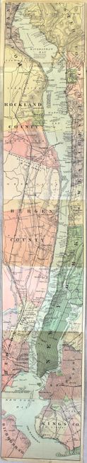
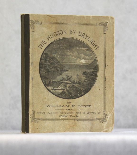
"The Hudson by Daylight Map from New York Bay to the Head of Tide Water…", Link, W. F.

Subject: New York

Period: 1878 (published)

Publication:

Color: Hand Color

Size:
5.5 x 105 inches
14 x 266.7 cm
Download High Resolution Image
(or just click on image to launch the Zoom viewer)

A remarkable map in strip-chart format that is over 100 inches long! Includes amazing detail on the map that is drawn on a scale of 1.5 miles per inch. Complied from U.S. Coast Survey data, this extraordinary map includes the names of prominent residences along the Hudson, historical landmarks and Indian names. Includes 32 pp. of descriptive text and numerous advertisements. Folds into paper wrappers with title page "The Hudson by Daylight. Map Showing the Prominent Residences, Historic Landmarks, Old Reaches of the Hudson, Indian Names, &c., with Descriptive Pages."

References:

Condition: A

A very nice example of this long folding map with only a few faint damp stains. Text and illustrations are clean and bright. Paper wrappers have typical wear and a few stains.

Estimate: $350 - $450

Sold for: $200

Closed on 9/13/2017

Archived