Catalog Archive
Auction 164, Lot 224

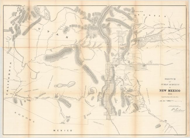
"Sketch of Public Surveys in New Mexico ", General Land Office

Subject: Southwestern United States

Period: 1859 (dated)

Publication: Sen. Ex. Doc. No. 2, 36 Cong., 1st Sess.

Color: Black & White

Size:
32.5 x 23.1 inches
82.6 x 58.7 cm
Download High Resolution Image
(or just click on image to launch the Zoom viewer)

Early, large-scale, territorial map by the Surveyor Generals Office, Santa Fe, New Mexico. It includes all of today's Arizona and extends to includes portions of eastern California and southern Utah to the north. The area of present-day New Mexico is depicted with good surveying progress primarily in the settled areas of Santa Fe and along the valley of the Rio Grande River. Just to the west of the Rio Grande are "Copper and Gold Mines" (which do not appear in the 1857 edition), a few Indian villages, and basic detail of rivers and topography.

References:

Condition: B+

Issued folding and now flattened and backed with tissue. Light toning along the folds.

Estimate: $160 - $200

Sold for: $120

Closed on 9/13/2017

Archived