Catalog Archive
Auction 164, Lot 185

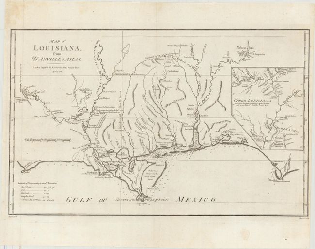
"Map of Louisiana, from d'Anville's Atlas", Harrison, John

Subject: Southern United States

Period: 1788 (dated)

Publication:

Color: Black & White

Size:
19.5 x 12.1 inches
49.5 x 30.7 cm
Download High Resolution Image
(or just click on image to launch the Zoom viewer)

This is the English version of D'Anville's 1732 Carte de la Louisiane, drawn by Haywood and engraved by Bowen. The map focuses on the Mississippi delta, showing the Red River as far as Adayes, a Spanish garrison of the Province of Tecas. The coastal area extends in the east from Cape San Blas and Apalachicola Bay (C. Escondido) to an area named Cabo del Norte shown with a small island off the cape. It names New Orleans, Fort Conde, Pensacola, Fort Louis and Mobiliens. The northern portion of Louisiana is portrayed in an inset. The map has many notations of towns destroyed by battles, both Indian and French.

References: Sellers & Van Ee #1616; cf. Lemmon, Magill & Wiese #24.

Condition: A

Issued folding on a clean sheet with one tiny rust spot and a light printer's crease near the center of the map.

Estimate: $950 - $1,200

Sold for: $700

Closed on 9/13/2017

Archived