Catalog Archive
Auction 164, Lot 153
"United States", Tanner, Henry Schenck
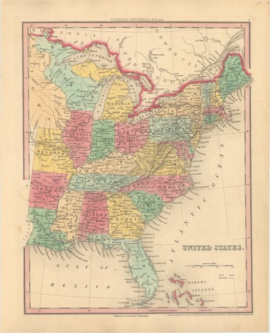
Subject: Eastern United States
Period: 1839 (dated)
Publication: Universal Atlas
Color: Hand Color
Size:
11.9 x 14.9 inches
30.2 x 37.8 cm
Download High Resolution Image
(or just click on image to launch the Zoom viewer)
(or just click on image to launch the Zoom viewer)