Catalog Archive
Auction 163, Lot 79

"United States", Bradford, Thomas Gamaliel

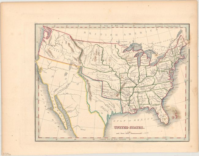
Subject: United States

Period: 1835 (circa)

Publication: A Comprehensive Atlas- Geographical, Historical & Commercial

Color: Hand Color

Size:
10.1 x 7.8 inches
25.7 x 19.8 cm
Download High Resolution Image
(or just click on image to launch the Zoom viewer)

Map shows the extent of the early United States with Missouri, Arkansas and Louisiana demarcating the western frontier. The engraving shows Texas as a part of Mexico, but the colorist has depicted the Republic of Texas, suggesting this map was published shortly after independence. To the north, an unnamed Missouri Territory reaches westward including the Great American Desert where several Indian Districts are named. The Huron District takes the place of Wisconsin and the Upper Peninsula of Michigan. Oregon District takes in present-day Oregon and Washington and encroaches slightly into present-day British Columbia. An unnamed river links L. Timpanogos with the Pacific at the Bay of Sir F. Drake.

References: Phillips (Atlases) #770-19.

Condition: B+

Original outline color with light scattered foxing.

Estimate: $120 - $150

Sold for: $160

Closed on 6/14/2017

Archived