Catalog Archive
Auction 163, Lot 36

"North America", Johnston, W. & A.K.

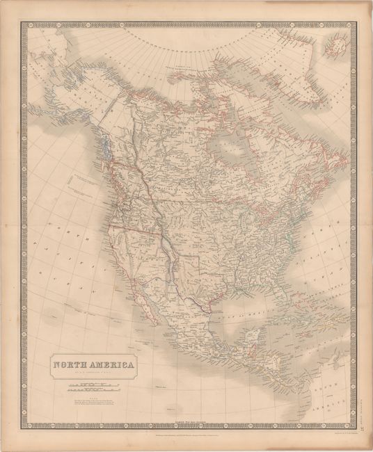
Subject: North America, Texas

Period: 1845 (circa)

Publication: National Atlas

Color: Hand Color

Size:
19.4 x 23.6 inches
49.3 x 59.9 cm
Download High Resolution Image
(or just click on image to launch the Zoom viewer)

This interesting map of North America shows much of the West in transition. Upper or New California takes up most of the American Southwest, with a narrow finger of Mexico squeezed in between California and the independent Republic of Texas. Above California is Oregon Territory which shows the boundary with British America along the Columbia River, reflecting British claims in the region. There is good detail for a map of this scale, particularly of the river systems.

References:

Condition: B+

Original outline color with light toning, a few spots of foxing, and a short fold separation confined to the left blank margin.

Estimate: $250 - $325

Sold for: $180

Closed on 6/14/2017

Archived