Catalog Archive
Auction 163, Lot 181

"Chart of Mobile, Perdido & Pensacola Bays", Darby, William

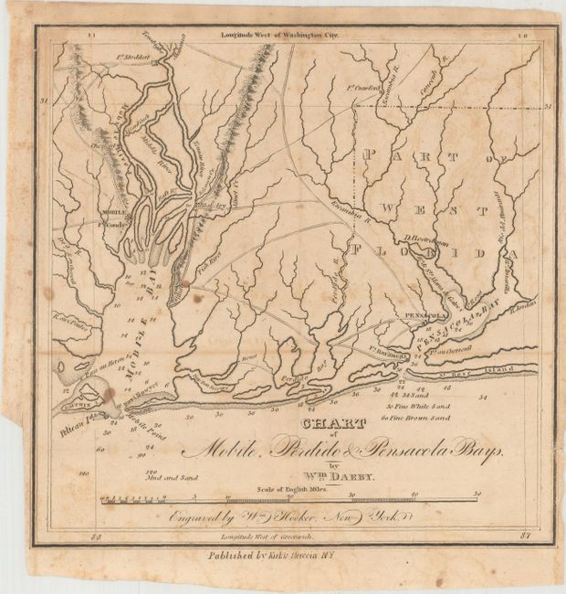
Subject: Alabama & Florida

Period: 1818 (published)

Publication: The Emigrant's Guide

Color: Black & White

Size:
8.1 x 8.1 inches
20.6 x 20.6 cm
Download High Resolution Image
(or just click on image to launch the Zoom viewer)

This rare chart extends from Dauphin Island in Mobile Bay east to Pensacola Bay and was published in Darby's The Emigrant's Guide. Soundings and bottom types are shown in the water, and there is nice detail of the region's rivers and their tributaries. Mobile, Pensacola, and several forts are named. Engraved by William Hooker and published by Kirk & Mercein.

References: Phillips (Maps) p. 691; Wagner-Camp #14b.

Condition: B

A nice impression, issued folding, with light offsetting and scattered foxing. A short edge tear along the top left border has been closed on verso with archival tape.

Estimate: $240 - $300

Sold for: $160

Closed on 6/14/2017

Archived