Catalog Archive
Auction 163, Lot 123

"United States", Bell & Co., Allan

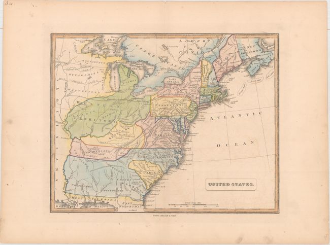
Subject: Eastern United States

Period: 1837 (dated)

Publication: A New General Atlas...

Color: Hand Color

Size:
13.4 x 10.6 inches
34 x 26.9 cm
Download High Resolution Image
(or just click on image to launch the Zoom viewer)

This map of the United States features very interesting, although outdated, boundaries between states and territories. Florida is still divided into East and West, and the southern states of Georgia, Alabama and Mississippi aren't delineated, although Georgia is labeled. A large Western Territory appears to the north, encompassing the states of Ohio, Indiana, Michigan, Illinois, and extending west. The names of numerous Indian tribes are identified throughout the map. Existing railroads in Pennsylvania and Massachusetts are shown, as well as a long proposed railway from Orange, NJ straight west to the Mississippi River.

References:

Condition: B+

Wide margins with light offsetting, a few small spots, and marginal soiling.

Estimate: $120 - $150

Sold for: $90

Closed on 6/14/2017

Archived