Catalog Archive
Auction 162, Lot 699

"Tabula Geographica Hydrophylacium Asiae Majoris Exhibens, quo Omnia Flumina sive Proxime sive Remote per Occultos Maeandros Originem Suam Sortiuntur", Kircher, Athanasius

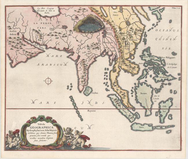
Subject: Southern & Southeast Asia

Period: 1665 (published)

Publication: Mundus Subterraneus

Color: Hand Color

Size:
16.4 x 13.6 inches
41.7 x 34.5 cm
Download High Resolution Image
(or just click on image to launch the Zoom viewer)

The Jesuit scholar Athanasius Kircher was one of the first compilers of semi-scientific knowledge about the physical features of the world. This very unusual map depicts all of southern Asia from the Arabian peninsula to the Philippines including the East Indies to the Celebes. It extends north to show part of the Caspian Sea. The map has limited political detail with only regions and countries named, plus the principal rivers, lakes and mountains. A huge subterranean lake in the area of Nepal and Tibet is the principle source for most of the rivers in Asia. Decorative title cartouche features angels or putti, and Neptune. Kircher's Mundus Subterraneus (The Underground World) was the first serious effort to describe the physical makeup of the earth, proposing theories (sometimes fantastic) in the areas of physics, geography, geology, and chemistry.

References:

Condition: A

A crisp impression on a bright sheet with the watermark of a coat of arms with a horn and the initials "WR." There is one small stain at top right and 6 worm holes in the image at bottom that have been professionally infilled.

Estimate: $750 - $900

Unsold

Closed on 4/26/2017

Archived