Catalog Archive
Auction 162, Lot 696

"Carte de l'Inde. Dressee en 1803...", Poirson, Jean Baptiste
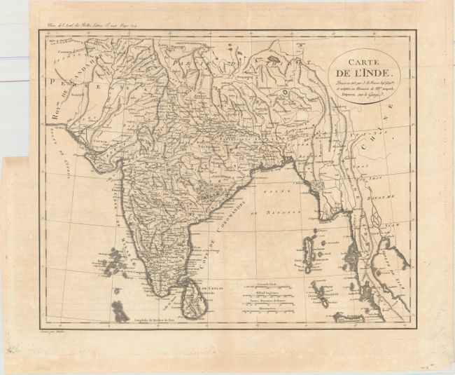
Subject: India

Period: 1803 (dated)

Publication:

Color: Black & White

Size:
16.7 x 13.3 inches
42.4 x 33.8 cm
Download High Resolution Image
(or just click on image to launch the Zoom viewer)

A finely engraved map extending from Pakistan in the west to Burma and the Malay Peninsula in the east. There is excellent detail of topography, rivers, political boundaries, and towns. The region to the north of Calcutta is labelled British Possessions, referring to the East India Company's rule in this region (1757-1858). Published in the 49th volume of the Royal Academy of Inscriptions and Literature as noted above the neatline at top.

References:

Condition: B+

Issued folding on watermarked paper with faint offsetting and a pair of tiny wormholes just above the bottom neatline.

Estimate: $150 - $180

Unsold

Closed on 4/26/2017

Archived