Catalog Archive
Auction 162, Lot 682

"Carte du Japon, Dressee sur les Cartes Japonnoises Memes, et sur les Observations de Mr. Kaempfer", Tirion, Isaac
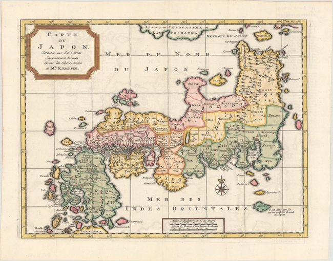
Subject: Japan

Period: 1732 (published)

Publication: Histoire Naturelle, Civile, et Ecclesiastique de l'Empire du Japon

Color: Hand Color

Size:
12.9 x 9.9 inches
32.8 x 25.1 cm
Download High Resolution Image
(or just click on image to launch the Zoom viewer)

This French version is the second edition of Tirion's map of Japan, based on the Kaempfer model. In contrast with Kaempfer's map of Japan, Tirion merges Hokkaido (Jesso of Jesogasima) with Kamtzchatka, shifting it further west, just north of the Noto Peninsula. At the map's lower edge, the tip of the island of Ryukyu is labeled Tanaxima. Tirion also added the route of the Dutch expedition between Nagasaki and Edo. This map was published in the French edition of Kaempfer's History of Japan.

References: Hubbard #78.2; Walter #OAG-79.

Condition: B+

A crisp impression, issued folding and now flattened on watermarked paper with light offsetting.

Estimate: $350 - $425

Unsold

Closed on 4/26/2017

Archived